
West Midlands weather: How cold is it normally in October and when will temperatures plummet?
The West Midlands has seen mist and fog patches across the region this morning - but temperatures are yet to plummet.
Many areas across the West Midlands are seeing the weather start to take a turn - without the noticeable drop in temperature for the season.
Some areas, including Sandwell and Wolverhampton, have seen patches of mist and fog this morning (October 6) - with the Met Office predicting light scattered showers and variable winds developing later.
Forecasters have said the maximum temperature will be around 20 °C.
But if you’re sitting there thinking it should be colder than this at this time of year - you aren’t the only one, many people across the country are wondering when when temperatures will start to drop.
How cold is it normally in the West Midlands in autumn?

Autumn - which meteorologists mark as September through to November - is already almost a third of the way over.
Met Office figures from pervious years have already determined that this year the season has been warmer than normal with September being the joint-fourth warmest on record across the UK. With a mean average temperature of 14.6C, it was 1.6C above the long-term average.
In previous years, the average daytime high for the West Midlands is usually around 14°C - with warmer, sunnier days early in October occasionally reaching up to 16°C/18°C.
Meanwhile, the average night time low is around 7°C /8°C (45°F to 46°F).
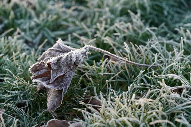
As November approaches, overnight temperatures frequently drop closer to 4°C, occasionally bringing the season's first touch of frost to rural or prone areas.
But when is it forecast to drop?
Here is what the latest Met Office forecast says:
Tonight:
A few showers around in the north this evening. Becoming cloudier overnight with outbreaks of rain which will become more persistent by dawn.
Minimum temperature 11 °C.
Wednesday:
A wet morning with plenty of cloud around to start, brightening up by the afternoon with a few light showers possible further west.
Feeling cooler with a northwesterly breeze.
Maximum temperature 15 °C.
Outlook for Thursday to Saturday:
On Thursday a dry, sunny, but chilly start, before cloud and rain moves in overnight.
Feeling milder Friday, with rain clearing to showers behind, continuing into Saturday with sunny intervals.
This forecast was last updated on the Met Office website at around 4am today (October 6) and may be subject to change.
What does the long range forecast predict?
The forecast for across the UK from Saturday (October 10) to Monday (October 19) predicts changeable weather through mid-October with “occasional bands of rain and strong winds, but interspersed with brighter and more showery conditions.”
It adds that “rain will be most prevalent across hills in the west and especially northwest, where above average rainfall is likely through this period” but temperatures are likely to be a little above average in many areas for the period as a whole.
Towards the end of the month (October 20 - November 3) the changeable weather is expected to continuer with “showers or longer spells of rain at times, with the wettest and windiest weather typically in the west and northwest”. The temperature is also expected to remain slightly above average.
The long range forecast was last updated on Monday (October 5) and may be subject to change.