Heatwave Birmingham May 2022: when is nine-day mini heatwave coming, and what is Met Office weather forecast?

and live on Freeview channel 276
The drier weather and longer days have many people looking ahead to the summer, when we all hope temperatures reflect the time of year.
A steady rise in the temperature has been forecasted, with reports of a ‘mini-heatwave’ hitting the UK later this month beginning to circulate.
When would any potential heatwave be felt in the UK?
Advertisement
Hide AdAdvertisement
Hide AdThe reports have suggested that a rise in temperatures could equate to a mini heatwave which could last nine days.
If we were to see a rise in temperatures, it could start as early as this weekend and peak in the middle of the month.
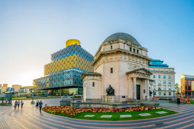
Will the temperature rise in Birmingham?
A steady rise in the temperature across the UK will be felt in Birmingham from this weekend.
Tomorrow (Friday) will see temperatures rise to a high of 17°C, and the heavy cloud could give a muggy feel to the day.
Rain, possibly heavy at times, will see in the weekend.
Advertisement
Hide AdAdvertisement
Hide AdSaturday, Sunday and Monday will all have a very similar feel in terms of weather, with clouds dominating the forecast.
A high temperature of 18°C will be felt on Saturday, and this could rise to 19°C on Sunday and Monday.
Despite the rise in temperatures, a heatwave doesn’t look likely to hit Birmingham anytime soon.

What is the Met Office outlook for this week?
The Met Office has updated its forecast for the West Midlands region to cover all days up until Monday, 8 May.
Here’s what is in store for the region
Tonight:
Advertisement
Hide AdAdvertisement
Hide AdCloud will clear this evening to leave a dry night with clear skies. Turning chilly in rural spots but staying frost free. Minimum temperature 5°C.
Friday:
Skies will turn cloudy through the morning, but it will stay dry for much of the day. Rain will arrive later in the afternoon and early evening. Maximum temperature 17 °C.
Outlook for Saturday to Monday:
Mostly dry over the weekend with warm sunny spells, although a few showers are possible on Saturday. Skies will turn a little cloudier on Monday but staying dry.
What is the long range UK weather forecast?
The Met Office also provides a long range forecast for the UK.
Below is the forecast between 10 and 19 May
Advertisement
Hide AdAdvertisement
Hide AdLargely cloudy across much of the northwest of the UK, with a few showers, the odd one of which may turn heavier.
However, some brighter or sunny spells are also possible at times. Largely fine and dry for southern and eastern areas with some sunny spells and feeling rather warm to very warm at times.
Areas of low cloud and fog are still possible around some coasts, most likely in the south and west, where it may feel cooler. Windy across the north, with temperatures here remaining close to average, but winds light or moderate elsewhere.
Towards the end of the period, a general change to lower pressure - especially across the north - may bring more unsettled conditions with spells of rain or showers for most.
What defines a heatwave?
Advertisement
Hide AdAdvertisement
Hide AdThe Met Office says that certain criteria must be met for a spell of hot weather to be classed as a heatwave.
According to the Met Office, A heatwave is defined by reaching a specific temperature threshold on three consecutive days. The threshold for a heatwave temperature differs by county, with some areas in the southeast having a threshold of 28C, while areas to the north and west have a threshold of 25°C.
Comment Guidelines
National World encourages reader discussion on our stories. User feedback, insights and back-and-forth exchanges add a rich layer of context to reporting. Please review our Community Guidelines before commenting.