Birmingham weather: Hour by hour Met Office forecast amid yellow warning for snow

and live on Freeview channel 276
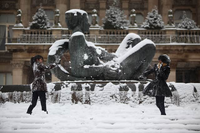
The Met Office had predicted snow to fall in Birmingham but is that still the case?
A yellow weather warning was issued for the city on Thursday, February 8, and Friday, February, 9. As it stands the weather warnings are still in place on both days with snow forecast to fall in Birmingham. The forecast today Thursday, February 8, in Birmingham shows the yellow weather warning from 1.30pm until 6am on Friday.
Advertisement
Hide AdAdvertisement
Hide AdWhat does the Met Office forecast say?
According to the Met Office forecast, temperatures are expected to dip to around 3° at 9am on Thursday morning, with much of the day set to be at 3° and 4°. Despite the yellow weather warning for snow there is not actually any snow predicted in the hour by hour forecasts - just rain. However the Met Office says the conditions will be unsettled with outbreaks of rain sleet and some snow.

Full Met Office forecast today and tomorrow (Thursday & Friday)
The Met office has forecast a cloudy day with outbreaks of heavy rain, this likely turning to sleet and snow in the north, with rain easing somewhat during the afternoon. Blustery at times and feeling chilly, particularly in brisk easterly winds. Maximum temperature 6 °C.
For tonight it has adivsed that condistions will remain cloudy with another band of heavy rain pushing northwards later this evening, gradually clearing by the early hours with winds easing. Minimum temperature 0 °C.
Thursday hour-by-hour forecast
- 10am: Temperature 3°; Wind 27 mph; 95% chance of rain
- 11am: Temperature 3°; Wind 25 mph; 95% chance of rain
- 12pm: Temperature 3°; Wind 23 mph; 90% chance of rain
- 1pm: Temperature 3°; Wind 22 mph; 90% chance of rain
- 2pm:Temperature 3°; Wind 20 mph; 80% chance of rain
- 3pm: Temperature 4°; Wind 17 mph; 60% chance of rain
- 4pm: Temperature 4°; Wind 16 mph; 60% chance of rain
- 5pm: Temperature 4°; Wind 17 mph; 60% chance of rain
- 6pm: Temperature 3°; Wind 18 mph; 40% chance of rain
- 7pm: Temperature 4°; Wind 19 mph; 50% chance of rain
- 8pm: Temperature 4°; Wind 20 mph; 95% chance of rain
- 9pm: Temperature 4°; Wind 21 mph; 00% chance of rain
- 10pm: Temperature 4°; Wind 20 mph; 95% chance of rain
- 11pm: Temperature 5°; Wind 20 mph; 95% chance of rain
Friday outlook
Staying rather unsettled with showery outbreaks of rain, turning heavy at times. Lighter winds than Friday and feeling milder, especially in the south. Maximum temperature 11 °C. Outlook for Saturday to Monday
Advertisement
Hide AdAdvertisement
Hide AdA mixture of some brighter and drier intervals at times, though still a risk of showers or longer spells of rain. Generally lighter winds with temperatures close to average.
What to Expect & Met Office travel advice
A period of snowfall could bring some disruption on Thursday and into Friday morning.
- There is a small chance that power cuts will occur and other services, such as mobile phone coverage, may be affected
- There is a slight chance that some rural communities could become cut off
- There is a small chance of travel delays on roads with some stranded vehicles and passengers, along with delayed or cancelled rail and air travel
Comment Guidelines
National World encourages reader discussion on our stories. User feedback, insights and back-and-forth exchanges add a rich layer of context to reporting. Please review our Community Guidelines before commenting.